https://www.bostonplans.org/planning-zoning/planning-initiatives/harborpark-plan
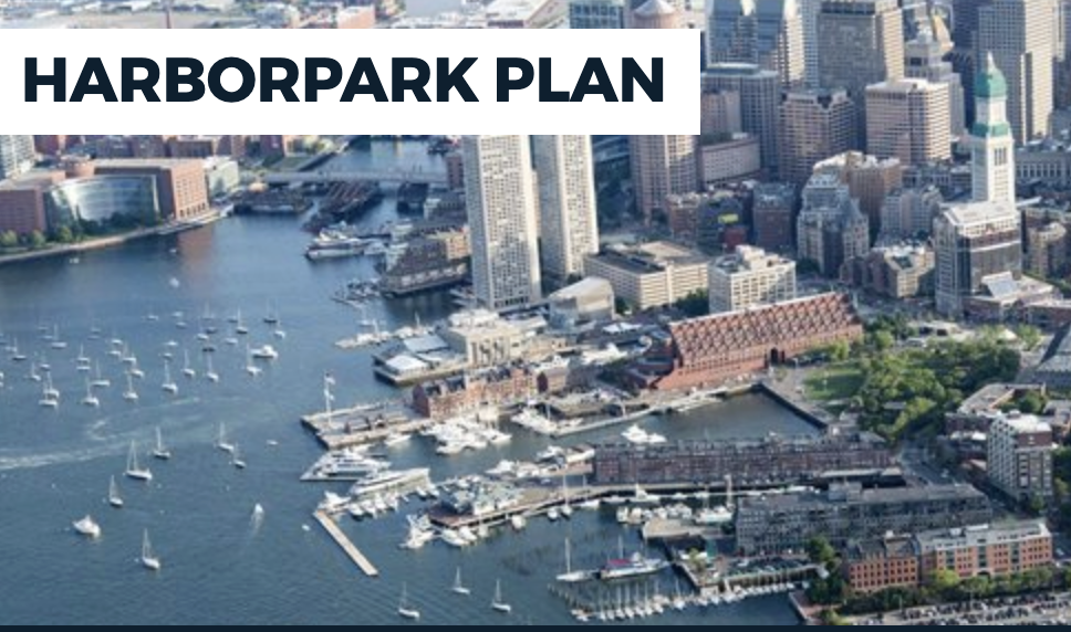
The 1990 Harborpark Plan is the City’s first Municipal Harbor Plan. The Harborpark planning process was initiated in the 1980’s to establish a framework for development, land use, and public access for the City’s waterfront districts which were beginning to re-emerge after decades of neglect. The intent of the plan was to ensure that new waterfront development functioned to facilitate public access to the harbor, reconnect neighborhoods with their waterfronts, and preserve water dependent industries and uses. These objectives were also supported by the state’s newly revised Public Waterfront Act Regulations.
The primary goals of Harborpark have guided many of the City’s subsequent harbor plans:
- Ensure public access to Boston’s waterfront and the public’s rights in the tidelands through Harborwalk.
- Revitalize and restore Boston’s underutilized shoreline infrastructure.
- Activate the waterfront zone through appropriate urban design, active public and cultural uses and water-dependent uses.
- Protect and enhance the waterfront’s maritime-industries and jobs.
The Harborpark Plan was codified through the City’s Harborpark Zoning (Articles 42A through F) and covers many of the City’s waterfront neighborhoods, including Charlestown, the North End, Downtown, Fort Point and Dorchester.
Documents All Documents »
Harborpark Municipal Harbor PlanPDF, 8.7MB
10/1/1990
STAY CONNECTED
Sign up for Neighborhood Email Updates!
NEIGHBORHOOD
Events
Visit our Calendar section for more events.
Leave a Reply