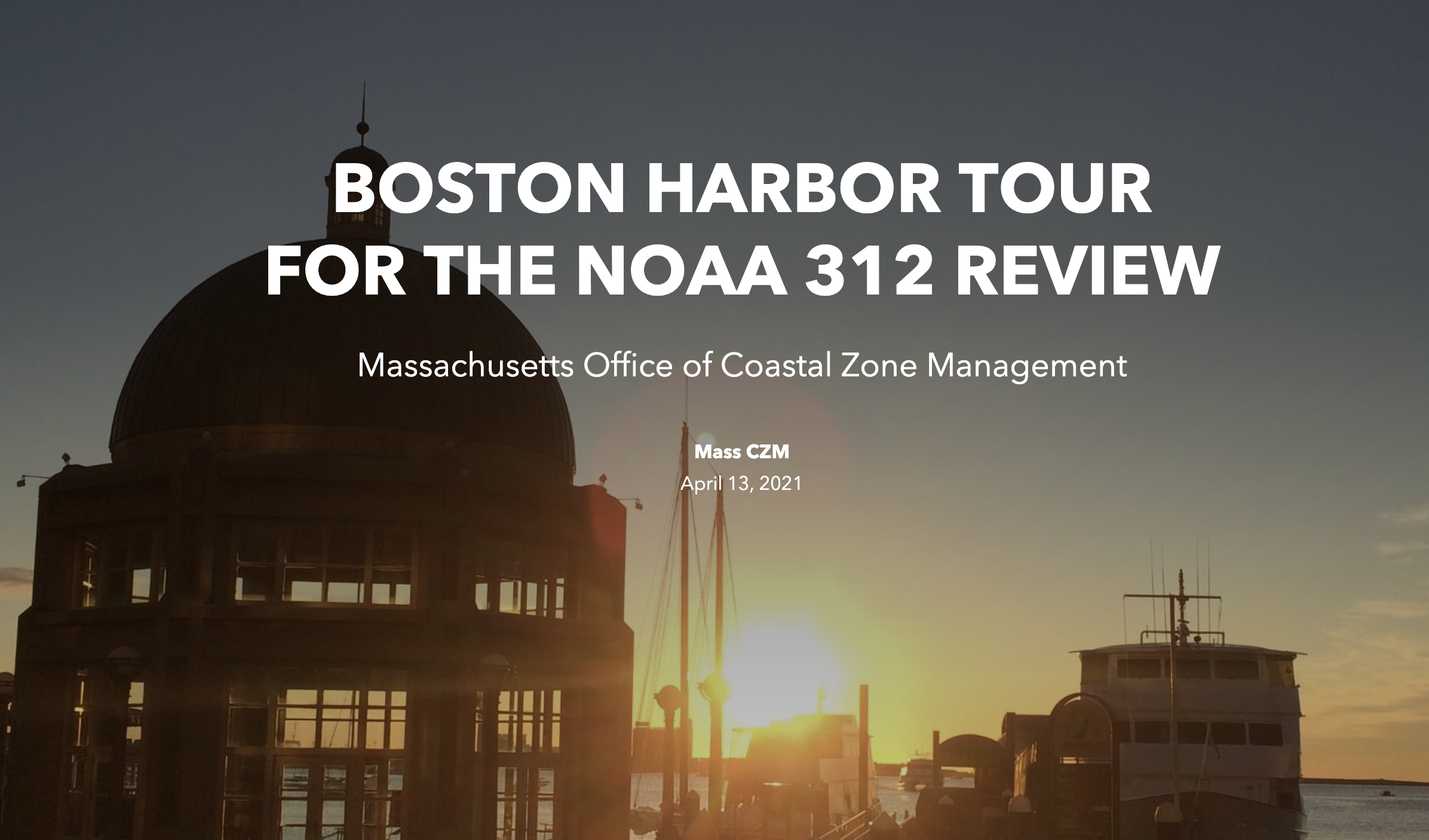
Massachusetts Office of Coastal Zone Management
Mass CZM April 13, 2021
https://storymaps.arcgis.com/collections/7842a7ce163047f69e68f1cb3ac706ee?item=3
WELCOME TO THE BOSTON HARBOR REGION
Discover the unique natural resources and characteristics of the Boston Harbor area.
The Boston Harbor Region includes the coastal communities of Boston, Braintree, Chelsea, Everett, Milton, Quincy, Weymouth, and Winthrop.
Home to five Designated Port Areas and numerous Municipal Harbor Plans, the Boston Harbor area is a hub for shipping, commerce, industry, and recreation—with much of its development influenced by its rich history. From the arrival of the colonists in the 1600s to today, Boston’s working waterfront has contributed significantly to the state’s economy. The City of Boston owes one-sixth of its 5,250-acre area to fill (that was “reclaimed” from the sea beginning as early as the European settlement in the 17th century). This area boasts many developed ports, public parks, transportation facilities, marine industries, and other avenues for people to access and benefit from one of Boston’s greatest public resources.
The region continues to focus on protection and preservation of its natural and built resources, such as wharves and piers (which drive industry, commerce, and tourism), the islands full of habitats and historic forts, and the 43-mile Harborwalk that provides public access to the coast.
Habitats: Docks and Piers, Salt Marshes, Tidal Rivers, and Island Communities
From docks and piers to thriving salt marshes, from tidal rivers to island communities, the Boston Harbor Region provides many habitats for various species of marine plants and animals. Boston continues to prioritize strategies to protect healthy habitats, address impacts from urbanization (such as from stormwater), and evaluate and respond to current and projected impacts of climate change, particularly sea level rise. Click on the slideshow to explore important habitat highlights in the Boston Harbor Region.
Leave a Reply